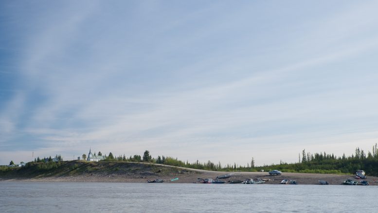
As Fort Simpson and Jean Marie River continue cleaning up following historic flooding, other communities downriver are keeping a close eye on the Mackenzie.
Tulita has been on flood watch since May 7; Fort Good Hope has been making preparations since May 10. According to the territorial government’s Emergency Management Organization, Fort McPherson and Aklavik are considered at elevated risk of flooding.
Roger Plouffe is the emergency commander for Fort Good Hope. He advises leadership on preparations and how to carry out a state of emergency.
But if all goes well, things won’t get to that point.
“The whole idea is that things would go naturally, without having to force the issue,” says Plouffe. “A state of emergency really changes the dynamics of the struggle with the flood because now you’re ordering people and that always (brings) anxiety… plus people know the land and they know what’s going on, so they know what to do.”
Plouffe said the community developed its own emergency plan last year after the territorial government’s “didn’t make sense.” It suggested that in the event of a flood residents be evacuated to Inuvik.
Fort Good Hope’s plan delineates four zones in the community based on the likeliness of flooding. Zone one is the low zone towards the boat launch and creek, most likely to get flooded and the area being actively monitored now. Plouffe said zone two is unlikely but may still be affected by a 100-year flood. Zones three and four are higher up.
“The trouble is the phenomenal water height” already this year, he adds.
The community also learned from the flooding that happened upriver. Plouffe said the plan now includes emptying and securing fuel tanks in zone one, as well as emptying sewage tanks — something they’ve already done as a precaution this year.
Communication has been key to preparations, from speaking to Elders in developing the plan to council meetings.
There was an emergency council meeting on Monday evening after the water levels rose quickly as ice started breaking up.
“The water came up fast,” says Plouffe. But leaders decided to hold off on declaring an emergency.
“Each council member talks about what should happen, and it was absolutely amazing to listen to because they will tell you the stories behind what’s happening,” says Plouffe. “It’s a very organic and very wonderful conversation.”
For now everyone remains on alert. The community even has two people stationed further upriver keeping an eye on the ice-jam to message back if something drastic happens.
“If that ice breaks, we got 15 minutes to half an hour at the most to clear up,” says Plouffe.
Backing up the Peel
Over in Fort McPherson, officials are also keeping a close eye on the Peel River.
“Our flooding would be predominantly from a backup of the Mackenzie River at the Peel River,” says Gary McBride, the senior administrative officer.
Earlier Wednesday, McBride and hamlet staff went to survey the water near the community and noted a higher level of turbidity, basically muddier water than usual — a clue the Mackenzie is slowly backing up in the Peel.
The community is getting updates from Tsiigehtchic in case things get worse.
If that happens, McBride said only two to five homes are in Fort McPherson’s flood plain.
In case, they’ve emptied some of the fuel and sewer tanks.
“Our greater concern would be for some members of the community that may be out in their camps,” he said.
While these camps are outside hamlet boundaries, McBride says it has been working with the Teet’lit Gwich’in band council and Gwich’in Tribal Council in case of emergency. It’s also been in talks with those organizations to update its emergency plan.
“We’re listening to what everybody else is doing, what they’re experiencing, and trying to do the good practices,” said McBride.
He added he expects the updated plan to be complete early next month.
CKLB reached out to Teel’lit Gwich’in band but was told Chief Wanda Pascal was away on the land.
We also reached out to officials in Aklavik for an update but did not hear back by publishing time.


