Some erratic weather today will see the Fort Good Hope wildfire chanced upon by a thundershower, then pushed by easterly winds, followed by gusts up to 20 km/h, NWT Fire stated this morning.
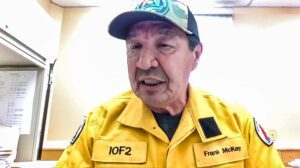
Frank McKay is the Information Officer for the fire, known as VQ001.

NWT Fire information officer Frank McKay. (Photo courtesy Teams livestream.)
“Today’s weather forecast calls for a mainly cloudy day with a chance of a shower or thundershower. clouds will clear mid-afternoon supported by strong and/or erratic winds with a convective cloud hovering over the area,” he stated in a release.
The wildfire remains outside the evacuated community’s boundaries, and no structures have been confirmed lost as of this morning.
The fire grew significantly beyond 1,368 hectares, last measured on June 16, but no updated fire map is yet available.
Crews continue to work fire perimeter patrolling the community looking for hotspots and extinguishing them as discovered.
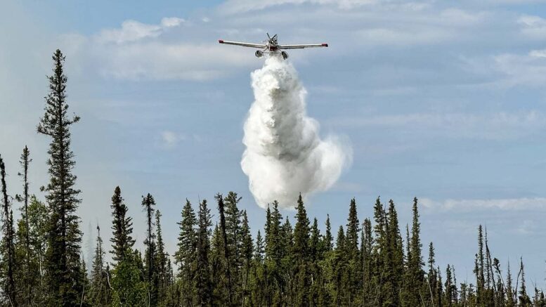
Helicopters and water skimmers will continue to make strategic water drops to slow further growth, protect structures, and assist ground action with airtankers on standby as needed.
Community engagement and evacuee outreach occurs twice daily with fire updates provided including interpretation in the local Indigenous language.
Due to fire danger in the region, a fire ban has been put into effect for MacKinnon Territorial Park in Norman Wells. The ban, which is in addition to any regional fire bans in place by NWT Fire, is effective immediately and will remain in place until August 1st.
This story will be updated as required throughout the day. You can also listen at 101.9 FM, or stream online.


