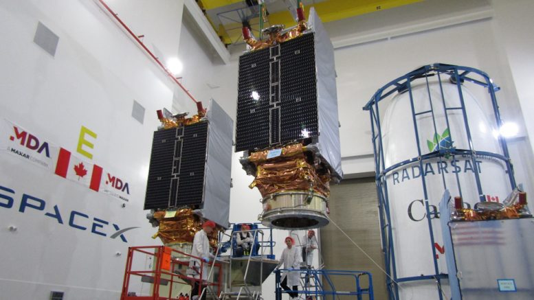
Three new Canadian satellites will be launched today from California. The three satellites make up the Canadian Space Agency’s RADARSAT Constellation Mission.
The satellites will orbit the earth every hour and a half and report up to 50 times more data than what is currently being produced by the RADARSAT-2 satellite.
The new satellites will work together and “provide enhanced surveillance of the Arctic and the North West passage (up to 4 times daily) resulting in an increased ability for ice monitoring and mapping, ship detection, and more efficient management of natural resources and sensitive ecosystems,” wrote Nicolas Pichette, media relations for the Canadian Space Agency.

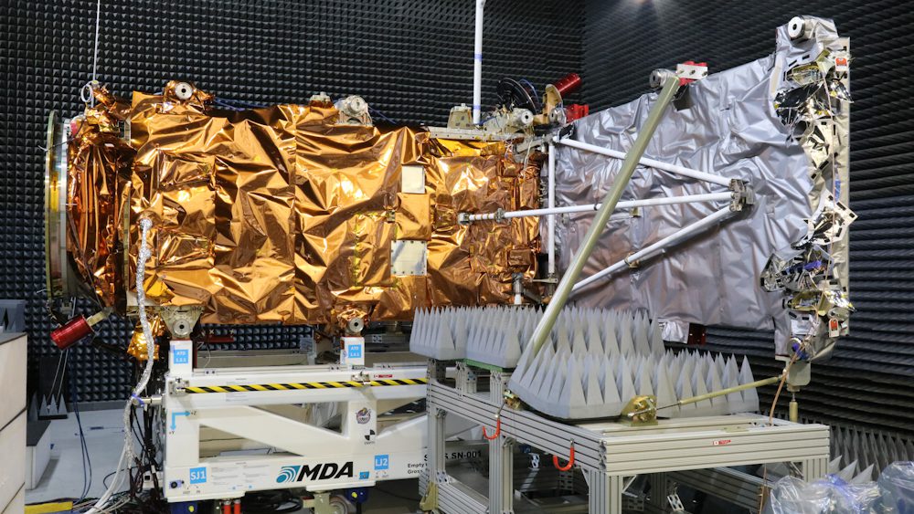
One of the RCM spacecraft with its antenna fully deployed during tests in MDA’s anechoic chamber in the Montreal area. The RADARSAT Constellation is Canada’s new generation of Earth observation satellites. The three identical satellites work together to bring solutions to key challenges for Canadians. (Credit: Canadian Space Agency. Photo from April 16).
He added that while northern communities aren’t involved in the operations of the satellites, they will benefit from the data collected.
“Space provides a unique vantage point from which to monitor the Arctic and respond effectively to the distinct challenges and opportunity in Canada’s North, such as climate change, the vastness of the territory and harsh weather and living conditions,” said Pichette in an email.
That information will be shared with other government agencies like Crown-Indigenous Relations and Northern Affairs Canada, Environment and Climate Change Canada and the Canadian Ice Service.
Natural Resources Canada also has an antenna based in Inuvik that will connect to the satellites.
CKLB asked if the mission was an effort to exercise Canada’s claim to the Arctic, which has seen growing dispute in the last few months.
“It will provide daily surveillance of our territory in support of our security and sovereignty,” said Pichette.
Francis was a reporter with CKLB from January 2019 to March 2023. In his time with CKLB, he had the immense pleasure and honour of learning about northern Indigenous cultures.


